The Best Glacial landform Photo Spots around Mýrdalsjökull in Iceland
Explore Glacial landform pictures of Mýrdalsjökull with the travel spots on a map
Download the Travel Map of Iceland on Google Maps here
11 Glacial landform Spots of Mýrdalsjökull on a Map
Pictures of Glacial landform on the interacive map of Mýrdalsjökull
Download On Google Maps 🗺️📲Glacial landform Spots and Pictures around Mýrdalsjökull
Discover popular destinations in Mýrdalsjökull with their travel guides
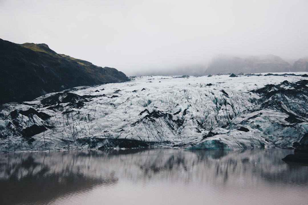
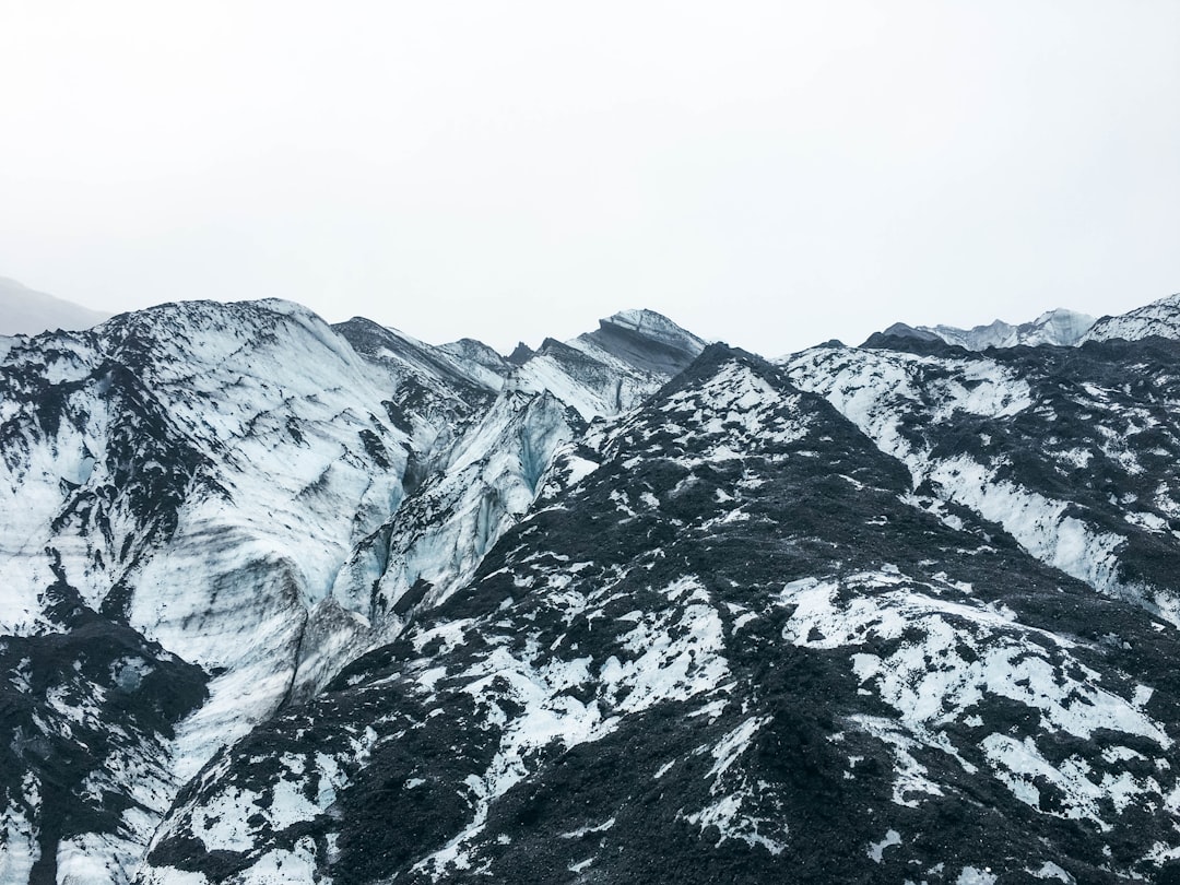
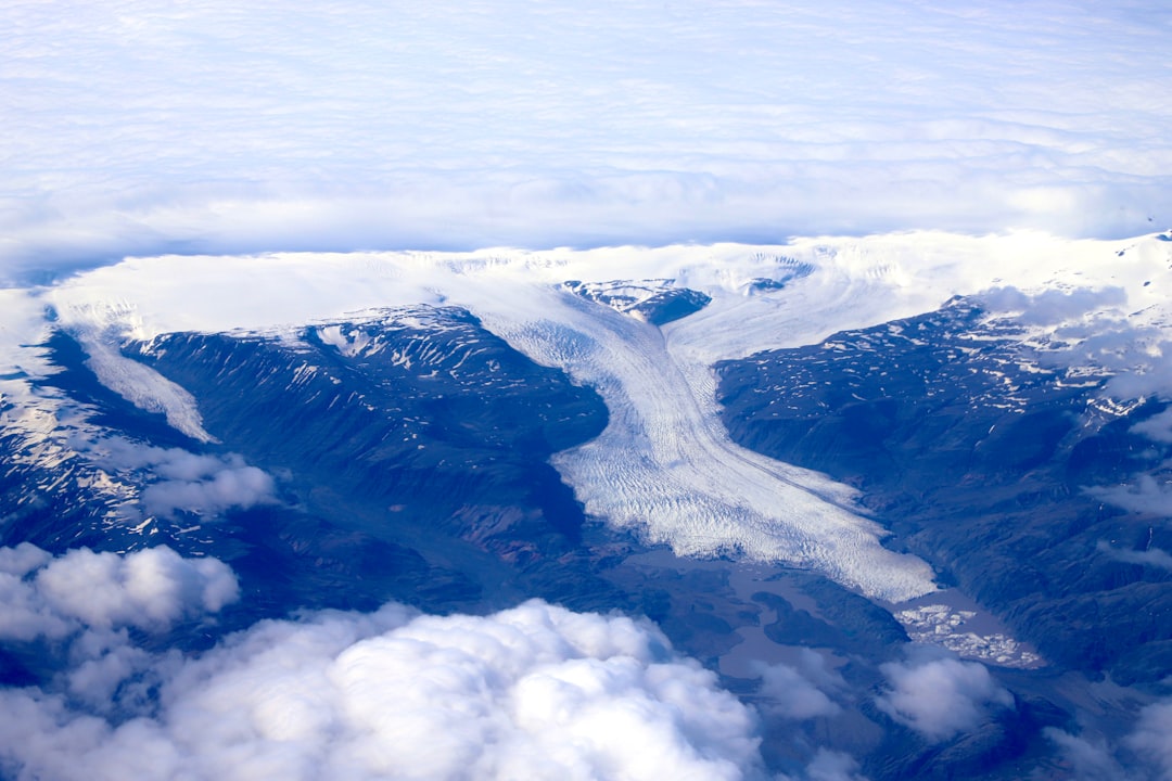
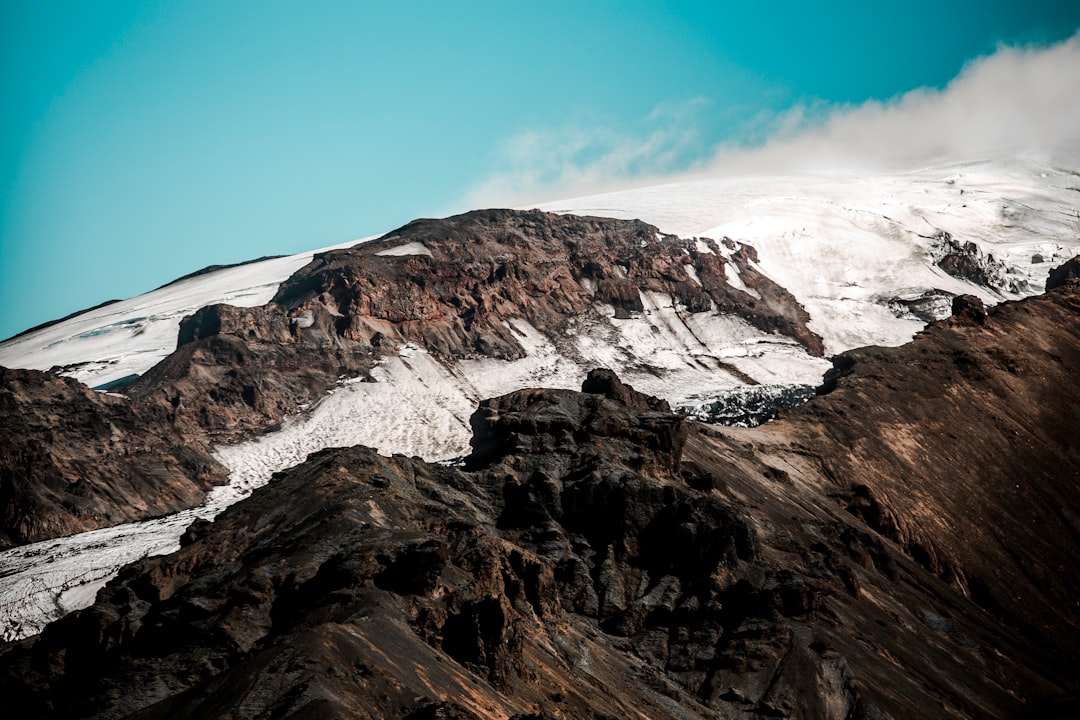
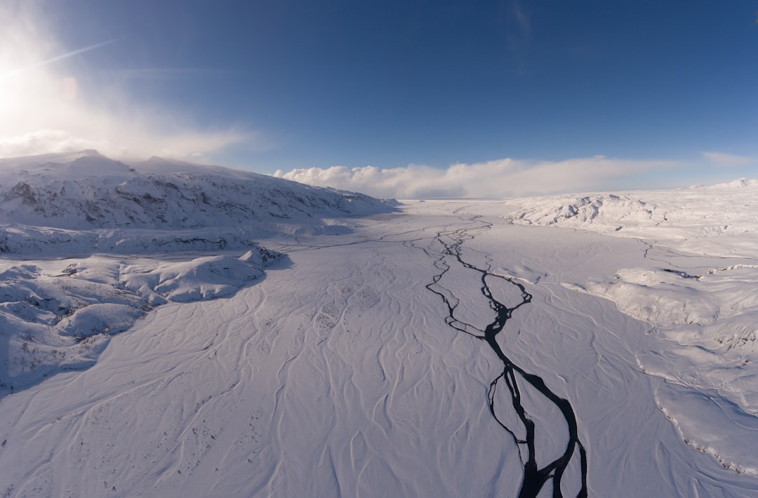
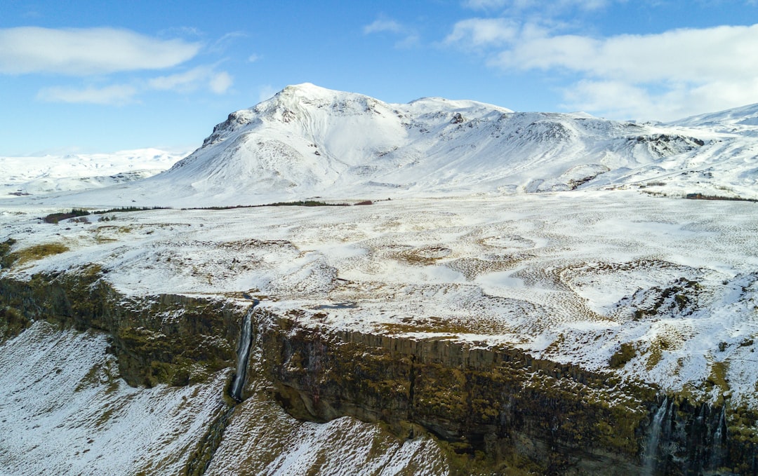
Mýrdalsjökull
Read the Travel guide View on Google Maps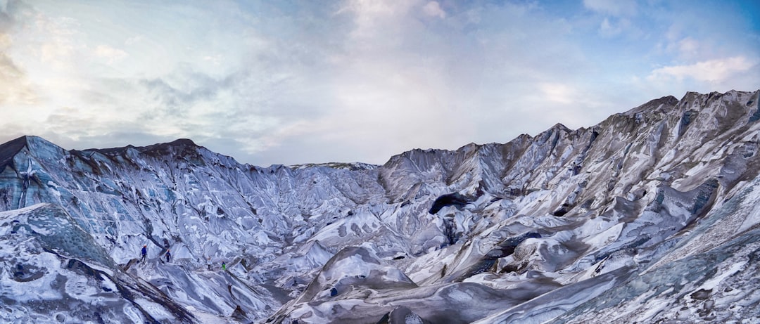
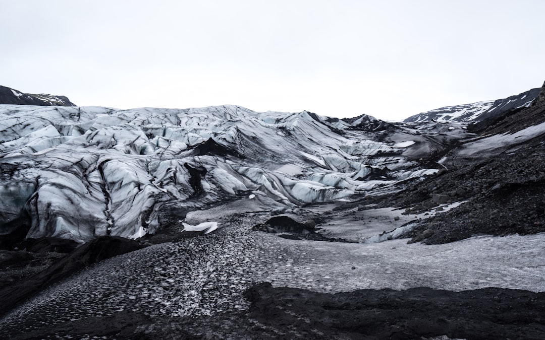
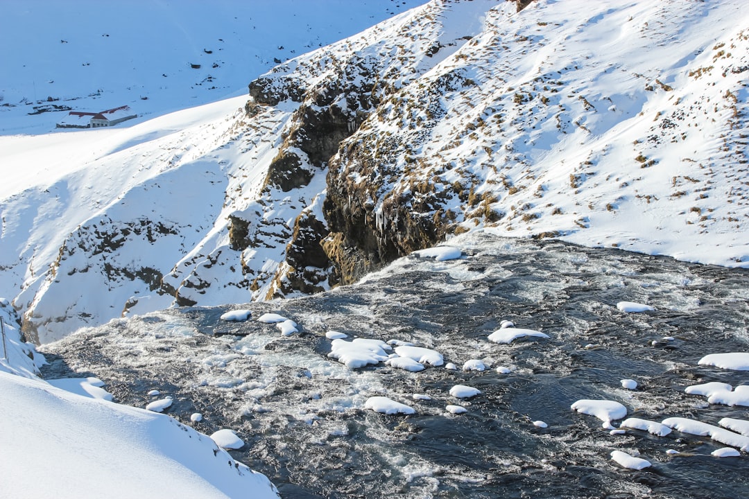
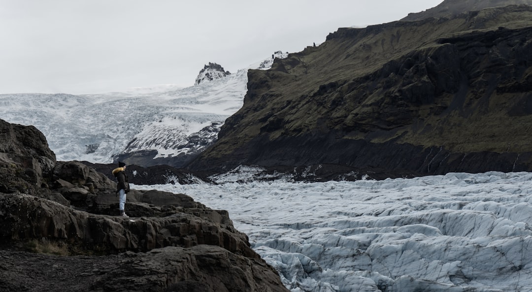
Sólheimajökull
12 km away from Mýrdalsjökull
Read the Travel guide View on Google Maps
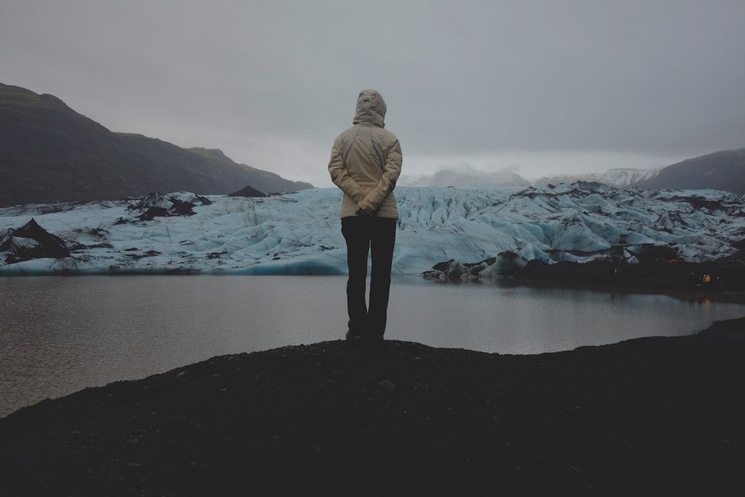
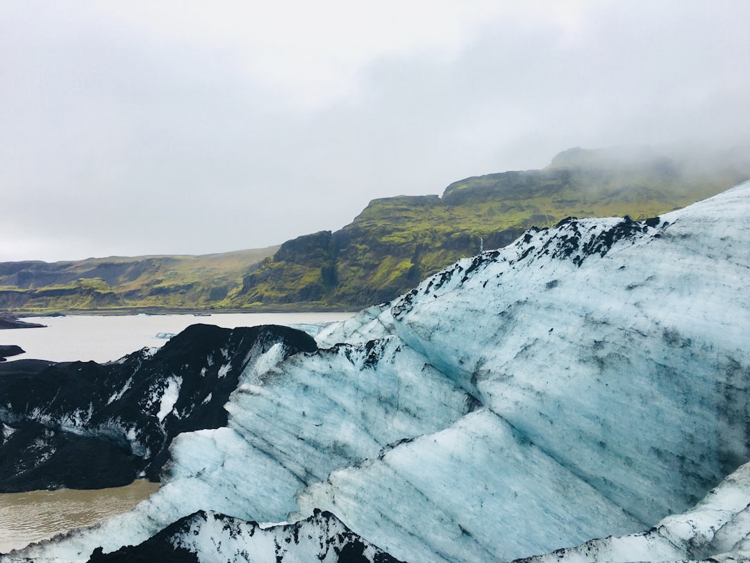
Sólheimajökull glacier
12 km away from Mýrdalsjökull
Read the Travel guide View on Google Maps
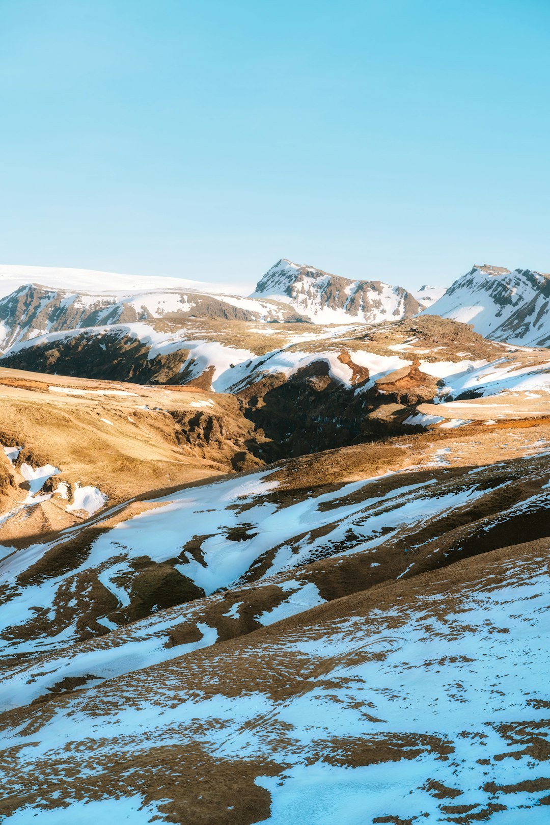
Thórsmörk
18 km away from Mýrdalsjökull
Read the Travel guide View on Google Maps
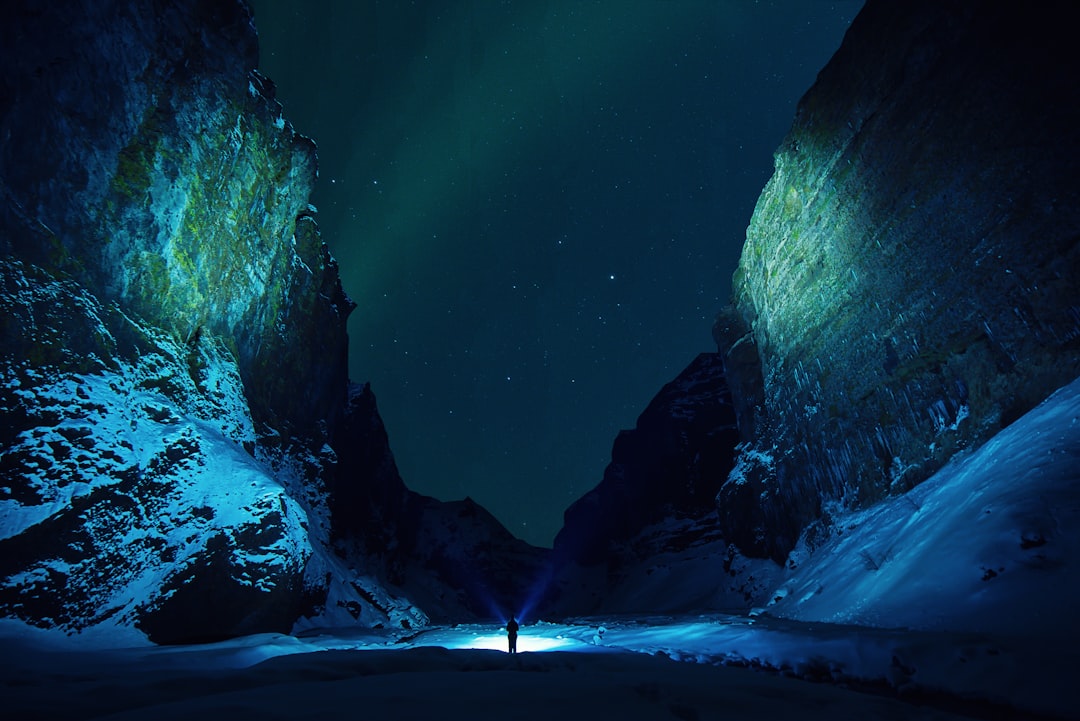
Stakkholtsgja canyon
21 km away from Mýrdalsjökull
Read the Travel guide View on Google Maps
Þjóðvegur
22 km away from Mýrdalsjökull
Read the Travel guide View on Google Maps
Skógafoss
23 km away from Mýrdalsjökull
Read the Travel guide View on Google Maps
Vik
26 km away from Mýrdalsjökull
Read the Travel guide View on Google Maps
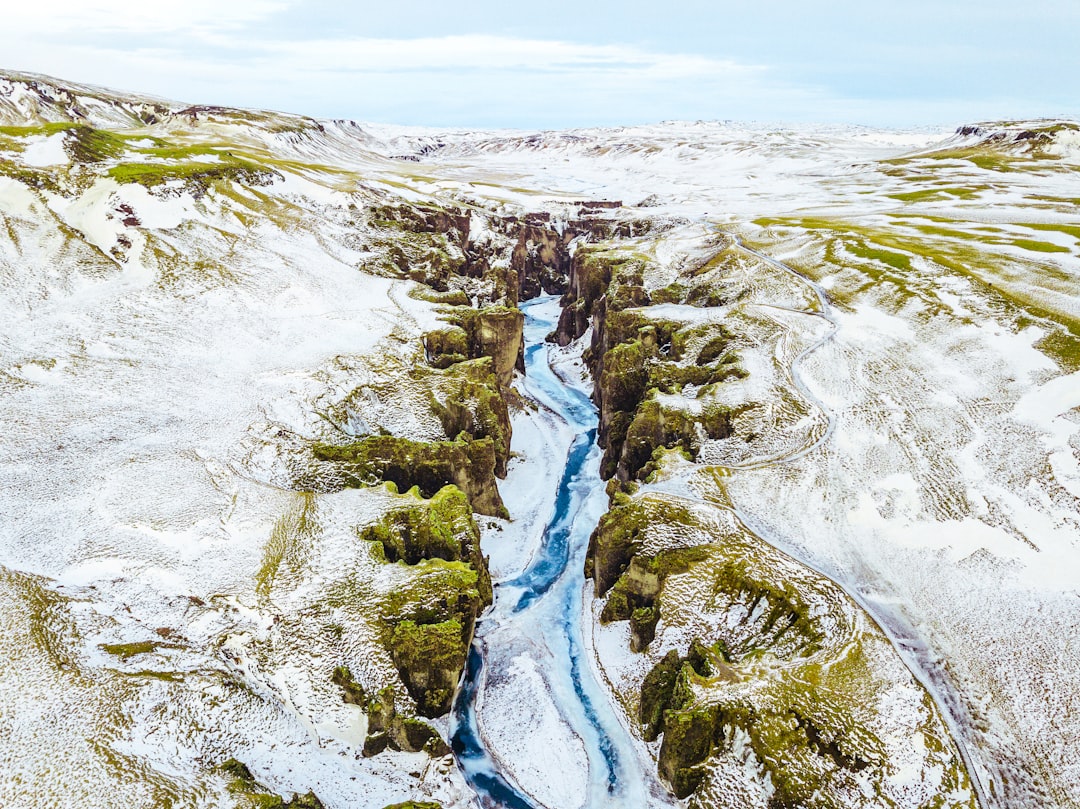
Fjaðrárgljúfur Canyon
49 km away from Mýrdalsjökull
Read the Travel guide View on Google Maps
South
71 km away from Mýrdalsjökull
Read the Travel guide View on Google Maps
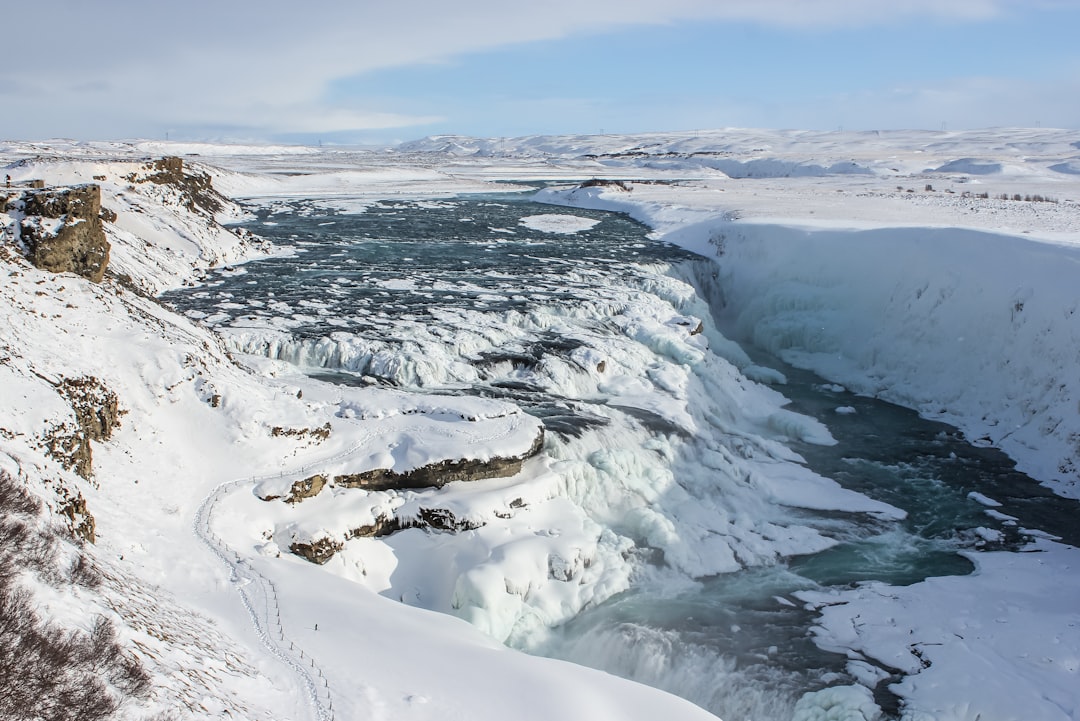
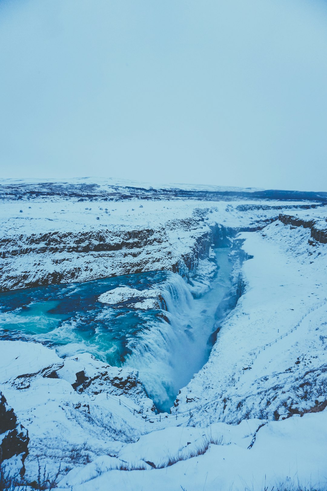
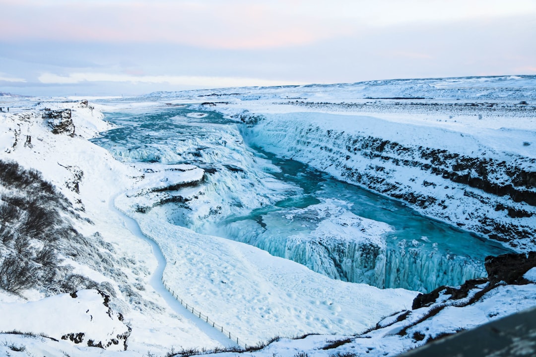
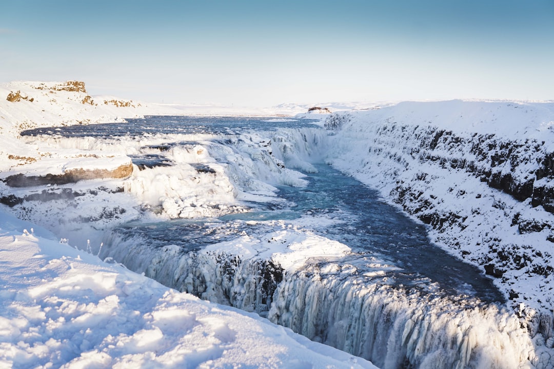
Gullfoss
90 km away from Mýrdalsjökull
Read the Travel guide View on Google Maps
Book your Travel Experience in Mýrdalsjökull
Discover the best tours and activities in Mýrdalsjökull and book your travel experience today with our booking partners
Learn More about Mýrdalsjökull
Find Hotels in Mýrdalsjökull
Discover the best hotels around Mýrdalsjökull, Iceland and book your stay today with our booking partner booking.com